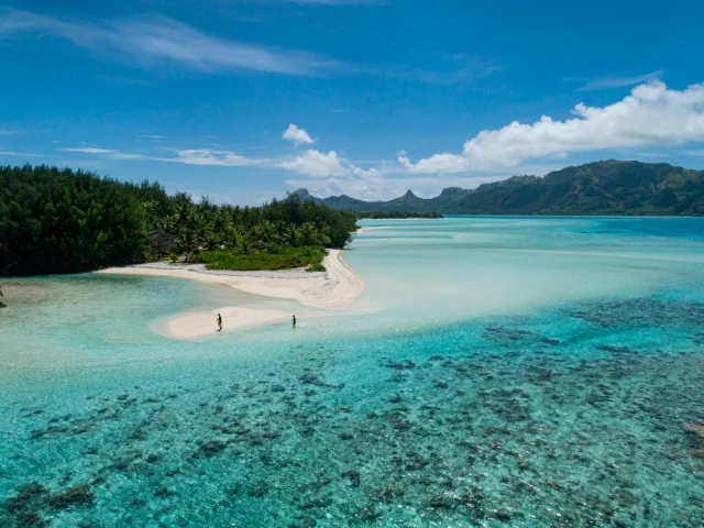
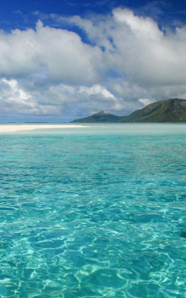
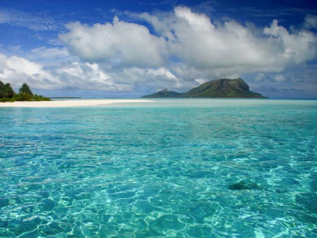
 View of Raivavae From a Motu - Tahiti Tourisme
 A Picture postcard
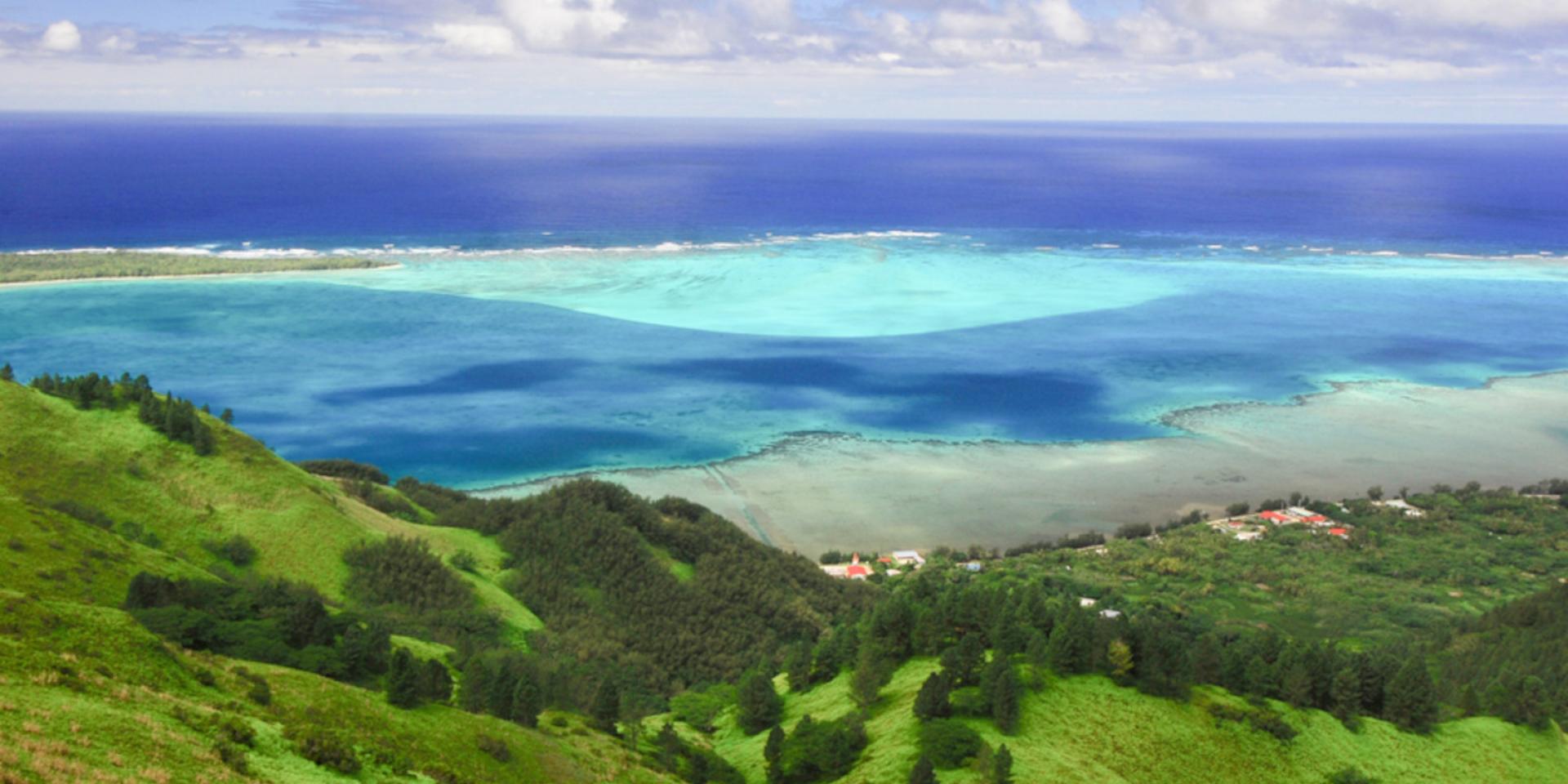
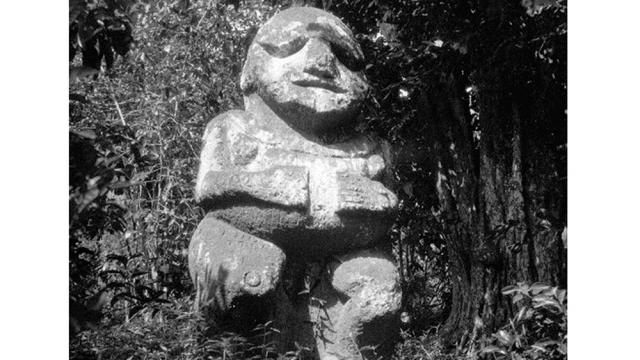
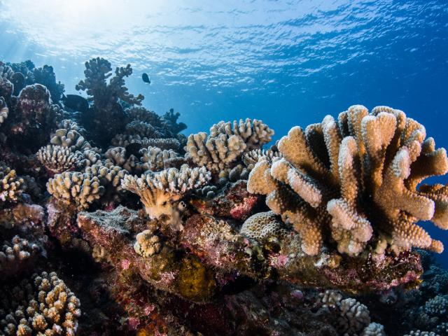
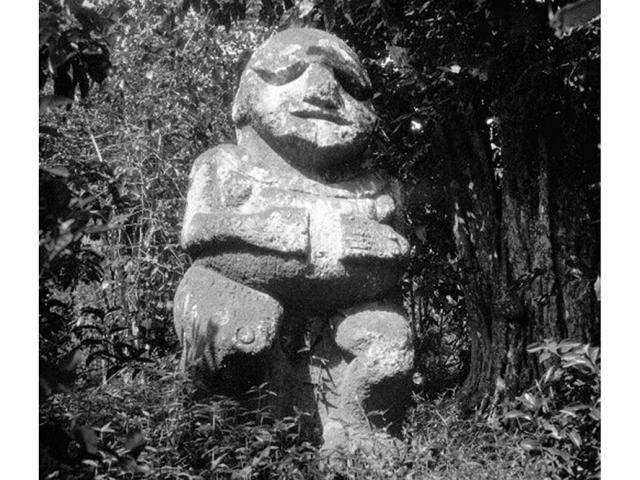
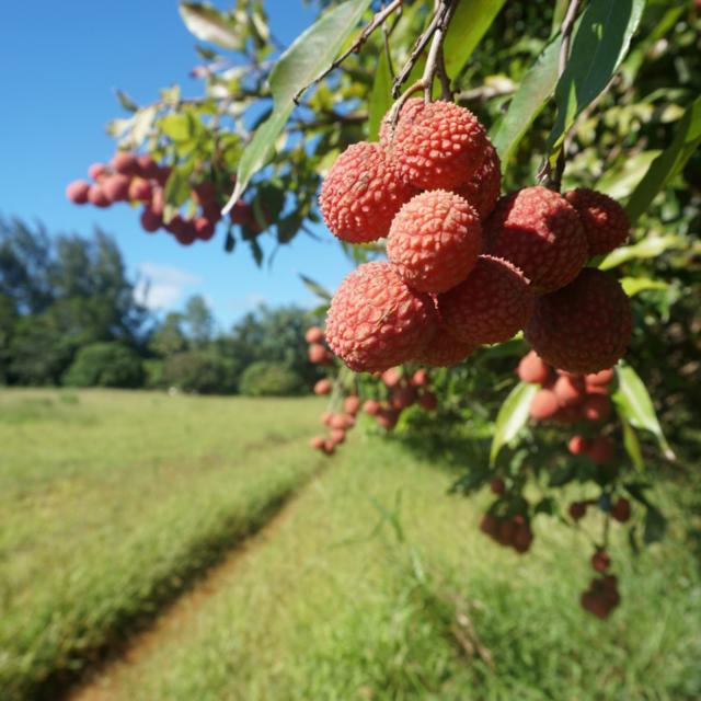
Four villages and two roads, including the traversière which crosses the island to join Mount Hiro, and a lagoon sprinkled with 28 motu. Raivavae, is Bora Bora before the age of tourism. You will appreciate the peace and beauty of the islands as you settle into the local pace and discover the way of life of the inhabitants; fishing, lychee cultivation, and the traditional method of canoe construction by stitching planks of wood together. Don’t miss a visit to the laughing tiki and to the many maraedotted around the island. And twenty minutes by boat brings you tomotu Vaiamanu which means ‘swimming pool’, a name that describes it perfectly.
